![{[setting('site_name')]}](https://projxnews.com/uploads/setting/16983847711140531930.webp)
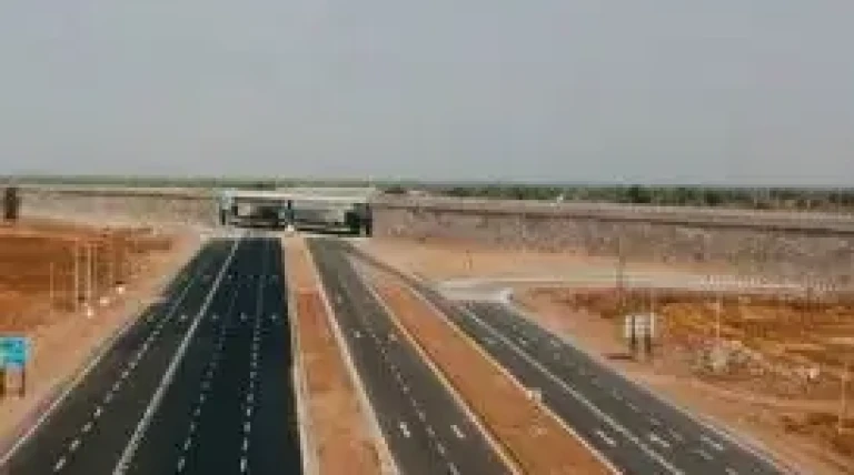

MSRDC is evaluating high-potential public and commercial land uses along the Samruddhi Expressway. Utilizing GIS mapping around interchanges spaced 30 to 40 km apart, urban planners will identify viable ventures—such as townships, hotels, and agro-processing centers—designed to attract private investment, create local jobs, and drive sustainable regional growth.
News by Rahul Yelligetti.